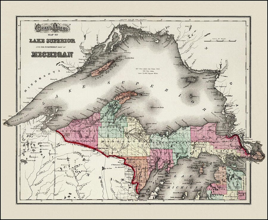
Lake Superior and Northern Michigan Vintage Map 1873 is a photograph by Carol Japp which was uploaded on June 7th, 2022.
Lake Superior and Northern Michigan Vintage Map 1873
A vintage, antique 'Gray's Atlas' map of Lake Superior and the Northern Part of Michigan. This wonderfully detailed, historic map from the public... more

by Carol Japp
Title
Lake Superior and Northern Michigan Vintage Map 1873
Artist
Carol Japp
Medium
Photograph - Drawing Engraving
Description
A vintage, antique 'Gray's Atlas' map of Lake Superior and the Northern Part of Michigan. This wonderfully detailed, historic map from the public domain, was published in 1873. This reproduction map has been restored and color corrected.
Uploaded
June 7th, 2022
More from Carol Japp
Comments
There are no comments for Lake Superior and Northern Michigan Vintage Map 1873. Click here to post the first comment.


